Lycian Way Trekking (Olympos - Adrasan Section)
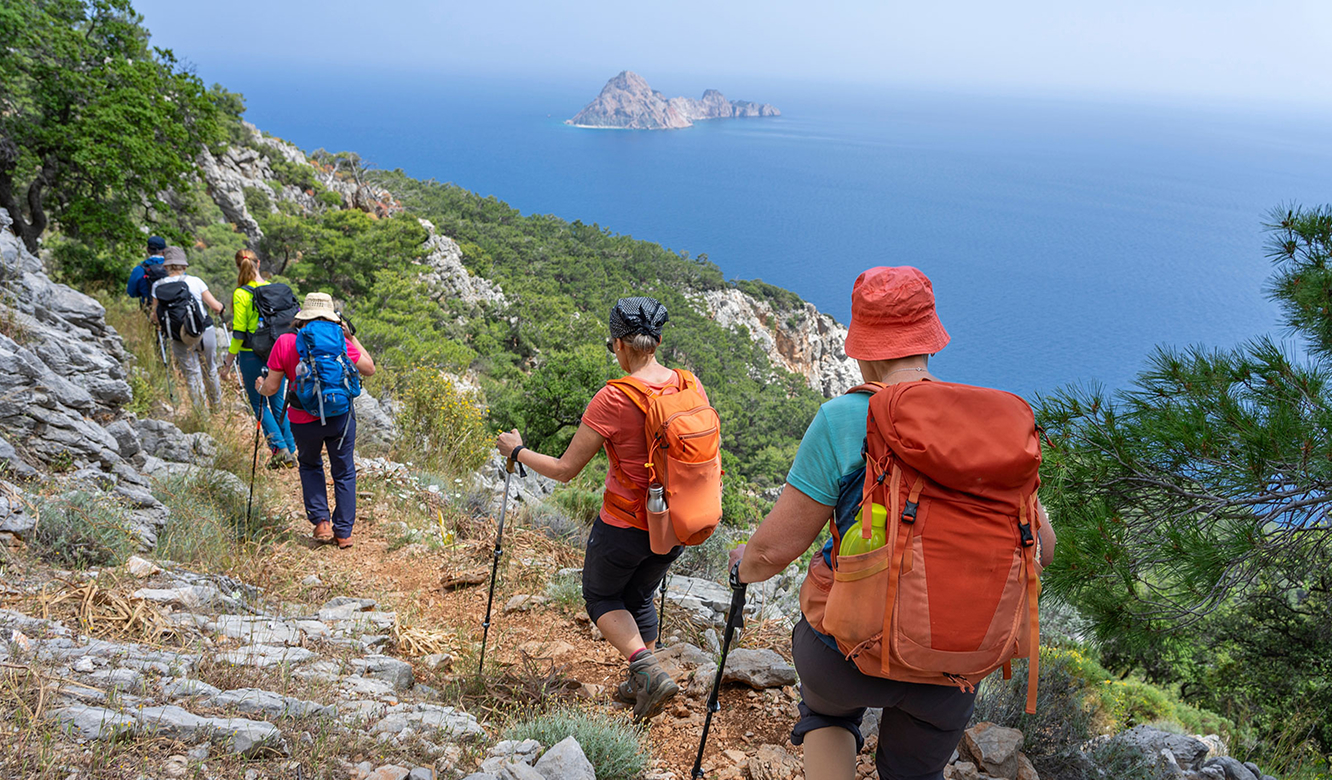
Running along the coast between Fethiye and Antalya, the Lycian Way is one of the best-known long-distance hiking trails in the world. This stage starts in Adrasan, crosses Mount Moses (Musa Dağı) through pine forest and descends to the ancient city of Olympos; many hikers carry on to Çıralı. It is a short but leg-burning day that climbs up and down a single mountain.
Stage facts
- Distance: About 13–14 km from Adrasan to Olympos; about 15.5 km to Çıralı.
- Climbing: Roughly 750–900 metres of ascent in total, and the same in descent.
- Time: A full day with breaks; allow around 7 hours to Çıralı.
- Difficulty: Hard. Both slopes are steep; the northern side down to Olympos is steeper, with long stretches above 20 percent.
The route
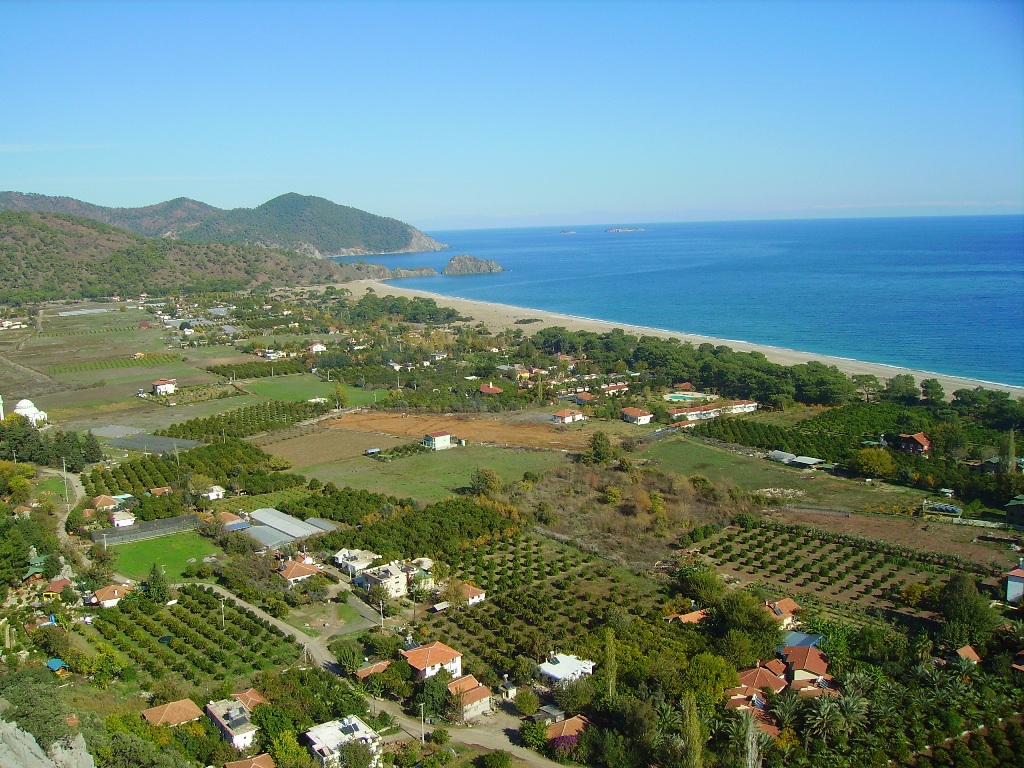
On the Adrasan side the trail first follows rural roads through farmland, then enters a rocky but clear mountain path through the forest. Along the ridges of Mount Moses you get views over the bays of Adrasan and Olympos. There is a water source near the highpoint. The descent into the Olympos valley is steep; the short section just south of the ancient city is slippery, especially when wet. The Olympos archaeological site charges an entrance fee. If you continue to Çıralı, you walk along rural roads and the beach from here.
Before you set out
- Waymarks: The route is marked with the Lycian Way's red-and-white painted blazes, which are in good condition on the mountain. The final descent into Olympos has some confusing junctions, though; carry an offline map or GPS track.
- Water: Don't rely on sources along the way; carry enough water for the whole stage.
- Season: Spring and autumn are best. In summer the heat on the steep slopes is exhausting; start early in the morning.
- Weather: The ridges can be very windy. In wet weather you can take the rural road through the valley instead of the steep path: it is unmarked and about 2 km longer, but much less steep.
- Getting back: This is a one-way stage. Plan in advance how you will return to your starting point.
Other options in the area
The sections of the roughly 540 km Lycian Way in this area combine sea views, ancient paths and forest. If the full stage feels too long:
- A short taster: the Çıralı–Chimaera link.
- The classic view: Karaöz to the Gelidonya Lighthouse and back (see Gelidonya Lighthouse Hike).
- Experienced hikers: the Adrasan–Olympos and Mount Musa links; up-to-date tracks and water information are essential.
Safety
- Hiking alone is not recommended. Always leave your plan with someone, and carry an offline map and a power bank.
- July–August is unsuitable because of heat and wildfire risk; check forest access bans. The best periods are March–May and October–November.
- Phone coverage drops in places. In an emergency call 112 and share your location as coordinates.
FREQUENTLY ASKED
Frequently Asked Questions
How long is the Adrasan–Olympos stage?
How long does the hike take?
How difficult is this stage?
How is the trail marked?
Is there water along the way?
Can I hike it in rainy weather?
Can I hike it alone?
Can I hike it in summer?
KEEP EXPLORING
More Activities
Responsible Sea Turtle Watching in Çıralı
Kayaking and SUP in Adrasan